
Topic
3d
HilDA: Hierarchical Distillation with Diffusion Advances Self-Supervised LiDAR Pre-Training
Researchers propose HilDA, a self-supervised pretraining framework for LiDAR backbones that uses hierarchical distillation and temporal occupancy diffusion. The method achieves state-of-the-art results on cross-modal distillation benchmarks for 3D object detection, scene flow, and semantic occupancy prediction.
Latent Gaussian Splatting Achieves State-of-the-Art in 4D Panoptic Occupancy Tracking for Robots
Researchers introduce Latent Gaussian Splatting (LaGS) for 4D Panoptic Occupancy Tracking, a method that models 3D features as sparse Gaussians for continuous spatiotemporal scene understanding. It achieves state-of-the-art results on Occ3D nuScenes and Waymo datasets, addressing limitations of bounding box tracking and static occupancy estimation.
AI Supply Chain Galaxy: 3D Visual Analytics Reveals Widespread License Compliance Risks
AI Supply Chain Galaxy (AISCG) is an interactive 3D visual analytics system for model provenance and compliance auditing. An ecosystem-scale analysis of 908,449 models from Hugging Face revealed that 55.46% exhibit compliance risks or metadata conflicts, with high omission rates in adapter derivations and license drift in fine-tuning.
Bayesian 3D Steerable CNNs Combine Equivariance and Uncertainty Quantification
A research paper proposes a Bayesian Steerable-CNN that simultaneously preserves SE(3)-equivariance and enables uncertainty quantification. The model achieves an expected calibration error of 0.0263 and outperforms its deterministic counterpart by up to 6.17% under distributional shift. The framework decomposes uncertainty into epistemic and aleatoric components, with a statistically significant negative correlation between epistemic uncertainty and prediction error.
 Technology
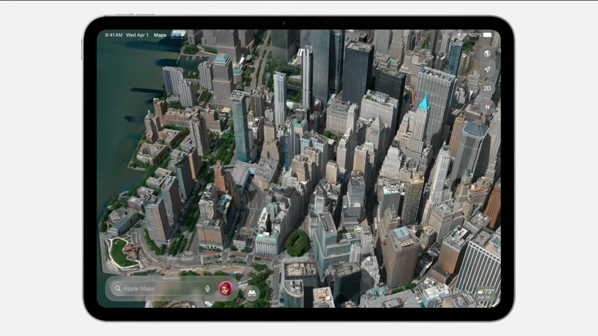
 Apple Maps Flyover Upgrade: 3D Cities in Stunning Detail
Apple Maps is set to receive a significant upgrade in its Flyover feature with the upcoming iOS 27. The enhancement will utilize Vision Intelligence and Gaussian Splatting to provide more detailed 3D city views, potentially surpassing Google Maps' photogrammetry.