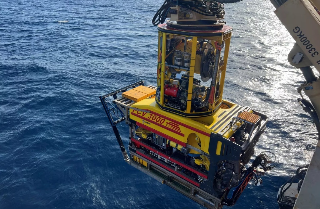

Houston-based Oceaneering International has secured multi-discipline offshore survey contracts for its Ocean Intervention II vessel to support offshore development programs for an undisclosed international operator, according to Splash247. The program is expected to span approximately six months, with options for additional work and extensions.
Contract Scope and Duration
The work scope is divided between two key offshore regions:
| Location | Duration | Key Activities |
|---|---|---|
| Offshore Trinidad | ~4 months | 2D and 3D seismic data acquisition, high-resolution and ultra-high-resolution seismic surveys, seabed mapping, geotechnical investigations, seabed sampling using box cores and piston cores, AUV surveys in deeper water, shallow-water surveys using towed conventional geophysical systems |
| US Gulf of Mexico | ~2 months | Geotechnical investigations, AUV-based block surveys, pipeline inspections incorporating non-contact cathodic protection measurement technology integrated with the AUV; options for additional site and block surveys |
Technical Capabilities
The Ocean Intervention II is owned by Oceaneering and was purpose-built for geophysical and geotechnical surveys. It underwent significant upgrades in early 2025 to support simultaneous, multi-discipline survey operations. Offshore Trinidad, the vessel will deploy a range of technologies including 2D/3D seismic systems, high-resolution and ultra-high-resolution seismic, AUVs for deepwater mapping, and conventional towed systems for shallow water. In the Gulf of Mexico, the AUV-based pipeline inspections will use non-contact cathodic protection measurement technology.
Efficiency and Emissions Benefits
“By consolidating multiple survey scopes onto a single vessel and crew, Ocean Intervention II supports single-pass and simultaneous operations that reduce campaign duration, minimise mobilisations, and shorten offshore exposure, improving efficiency and lowering overall emissions compared to traditional multi-vessel survey programs,” said Peter Buchanan, Oceaneering’s senior director for surveys, products and services.
This integrated approach allows the operator to obtain geophysical, geotechnical, and autonomous survey data in a single mobilization, reducing time and environmental footprint.
Implications for Offshore Energy Development
While the client remains undisclosed, the contract signals continued investment in offshore exploration and development in both the Caribbean and the Gulf of Mexico. For commodity analysts and energy market participants, such survey activity often precedes drilling campaigns and field development decisions, potentially impacting future oil and gas supply from these basins. The six-month program plus options suggests a sustained commitment by the operator to mature prospects in these regions.
Sources: