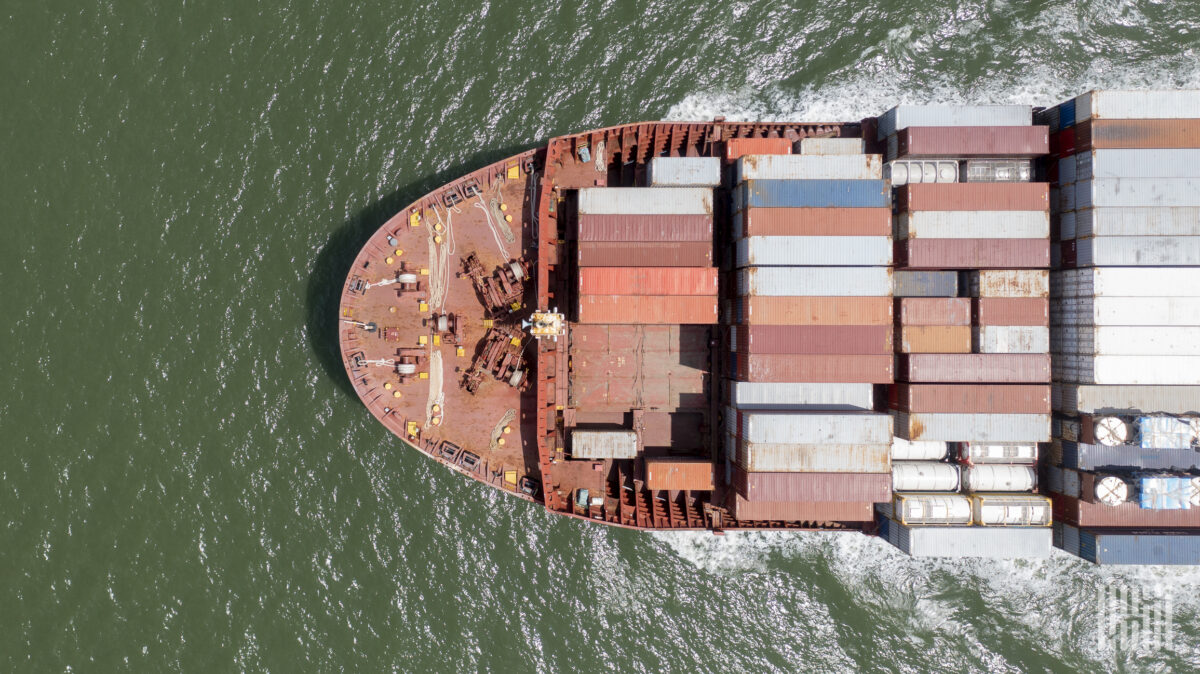
The US National Oceanic and Atmospheric Administration (NOAA) has officially declared that El Niño has developed in the tropical Pacific, issuing an El Niño advisory and warning that the event could intensify into one of the strongest on record by the end of the year — a development with direct and significant implications for global shipping, according to Splash247.
Forecast Intensity and Historical Context
NOAA’s Climate Prediction Center now puts the likelihood of the event reaching at least “strong” intensity at 88% between November and January, with a 63% chance it becomes “very strong.” Should that upper threshold be crossed, NOAA said the event “would rank among the largest El Niño events in the historical record going back to 1950” — comparable to the major El Niño events of 1997-98 and 2015-16, both of which left lasting marks on shipping operations and freight markets, Splash247 reported.
Panama Canal Restrictions
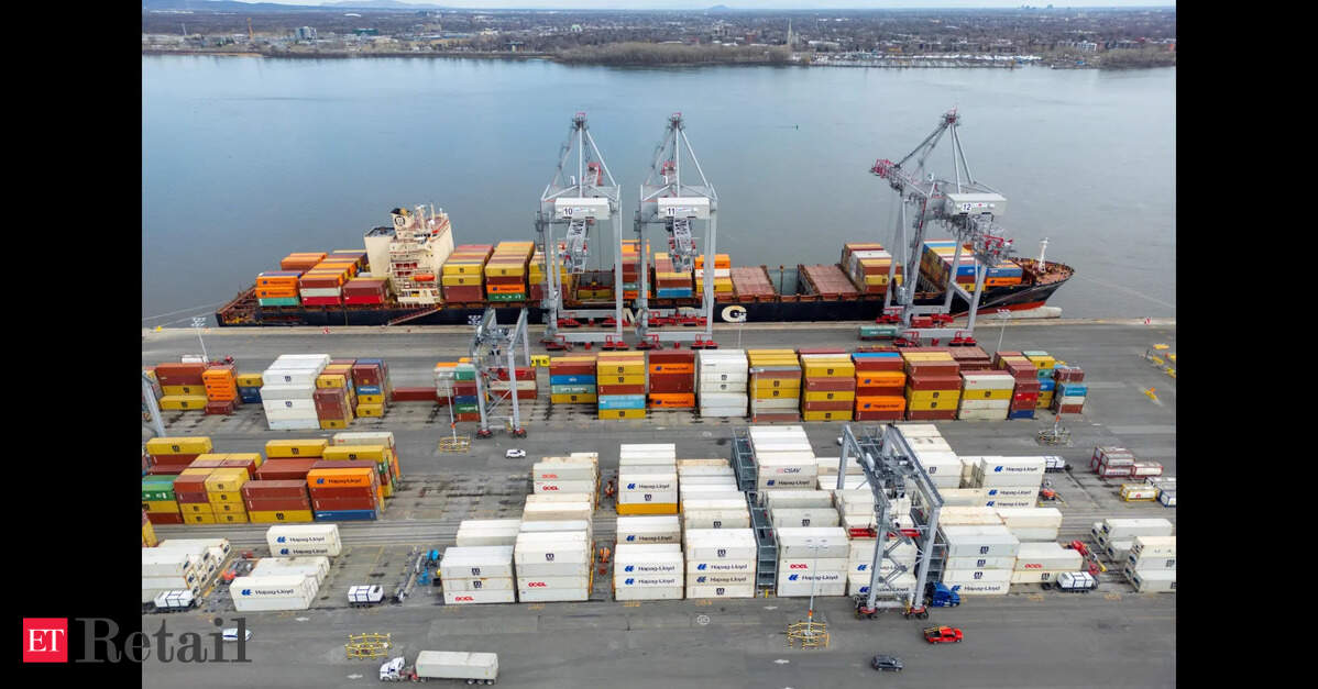
The 2023-24 El Niño triggered a severe drought at the Panama Canal, forcing the Panama Canal Authority (ACP) to impose draft restrictions and slash daily transit numbers by as much as 40% below normal levels. It took roughly a year for transits to fully normalise once the drought eased. The ACP has already moved pre-emptively this year, announcing a reduction in maximum authorized draft at the neopanamax locks to 49.5 feet effective July 3 — explicitly citing the potential development of an El Niño event as a key driver, even before NOAA’s official declaration. With the canal authority now monitoring weekly, a confirmed strong-to-very-strong event significantly raises the odds that more severe restrictions follow into the 2027 dry season, according to Splash247.
Analysts at Clarksons Research said that Panama is already operating under increasing pressure from record US energy exports. Product tanker transits reached record levels in April and May, while growing volumes of liquefied petroleum gas and ethane exports have intensified competition for available slots.
Broader Trade Route Exposures
Panama is not the only chokepoint exposed. El Niño’s warming of the equatorial Pacific tends to disrupt the Walker Circulation, reshaping rainfall and storm patterns across the Pacific basin and beyond. Historically, strong El Niño events have been associated with reduced rainfall and water stress in parts of Central America and Southeast Asia, raising the prospect of knock-on effects for river and canal-dependent logistics beyond Panama, including inland waterway transport in regions reliant on monsoon-fed water levels, Splash247 reported.
The hurricane season picture cuts in a more favourable direction for shipping. El Niño tends to increase wind shear over the Atlantic, which typically suppresses tropical storm formation and intensification — a partial silver lining for operators exposed to Gulf of Mexico and Caribbean trade routes during the second half of 2026, even as Pacific-side disruption risk rises.
Dry Bulk and Agricultural Shipping Impacts
Dry bulk and agricultural shipping sectors face their own distinct exposure. El Niño has historically been associated with shifts in rainfall patterns affecting major grain and soybean producing regions, including drought risk in parts of Southeast Asia and altered monsoon patterns affecting Indian and Australian agricultural output — variables that feed directly into bulk carrier demand patterns and trade flows over the coming twelve months, according to Splash247.
Shipper and Operator Implications
- Panama Canal users should prepare for potential further draft cuts and transit reductions, especially during the 2027 dry season. Booking flexibility and alternative routes via Suez or Cape of Good Hope should be evaluated.
- Atlantic hurricane season may see fewer disruptions, offering some relief for Gulf and Caribbean operators, but Pacific-facing routes face heightened weather uncertainty.
- Dry bulk shippers should monitor grain production forecasts in Southeast Asia, India, and Australia, as El Niño-driven drought could reduce export volumes and alter demand for bulk carriers.
Watch List
- Weekly ACP draft updates — further reductions likely if El Niño strengthens.
- NOAA monthly ENSO updates — intensity trajectory through November–January.
- Atlantic hurricane season activity — suppressed activity may improve schedule reliability.
- Rainfall data for Central America and Southeast Asia — potential for additional canal and river bottlenecks.
Sources: